

The Potomac River Guide has details on more than 800 historic and recreation sites along the Nation's River. To start exploring, visit our interactive maps or browse the sites.
Interactive Maps
The Lower Potomac
The Potomac Estuary
Mount Vernon to the Anacostia River
Mall Area
Georgetown to Great Falls
Potomac Piedmont
Upper Potomac
The North Branch
Boat Ramps
Monitoring Sites
Bridges and Ferries
Cruises and Charters
Search Potomac Sites
POTOMAC RIVERWATCH: Fall 2026
- Tropical Weather Reduces the Drought Threat
- After 120 Years, a New Long Bridge
- Potomac Overflow Tunnel Progress
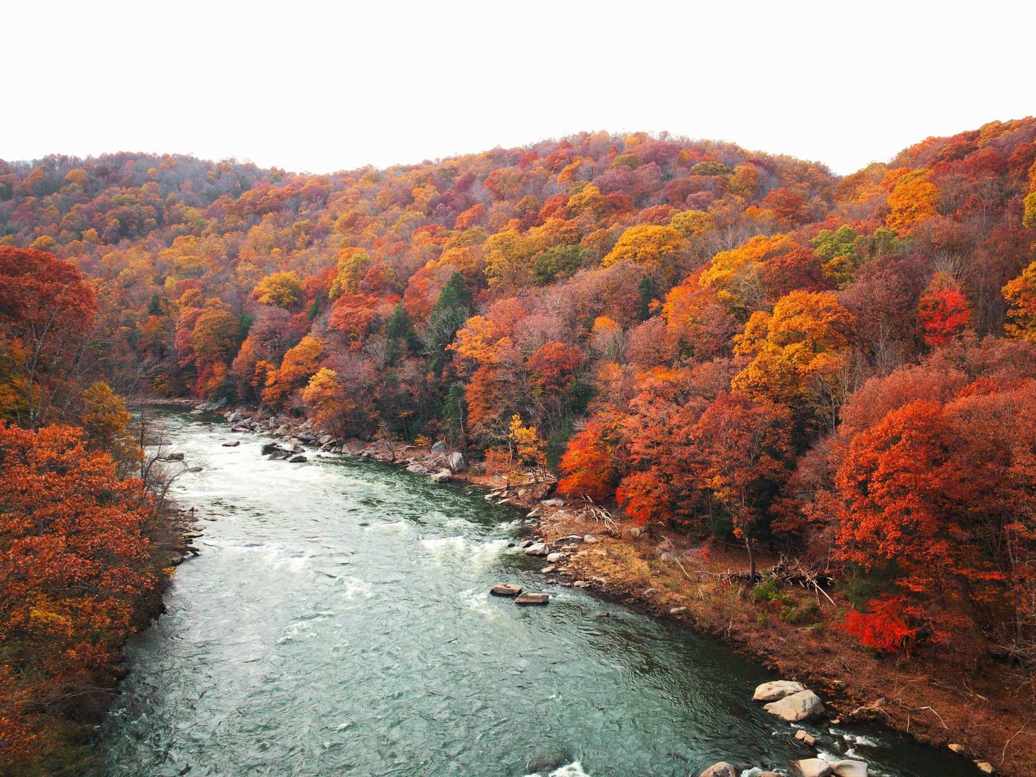
Fall colors abound along the North Branch Potomac river in mid-October.
Explore Our Other River Guides

|  |
 |
What's New--Fall 2026
| Our new monitoring map tracks river levels at 55 Potomac River gages in MD, VA, WV, and DC with data from USGS and predictions from NOAA. | 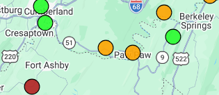 |
| Google reviews are now included for hundreds of boat ramps, camp sites, marinas, parks, and other Potomac places. |  |