Interactive Maps
Mount Vernon to Anacostia River
Search Potomac Sites
Also Explore
| The Hudson River Guide | The Delaware River Guide |
| The Connecticut River Guide | |
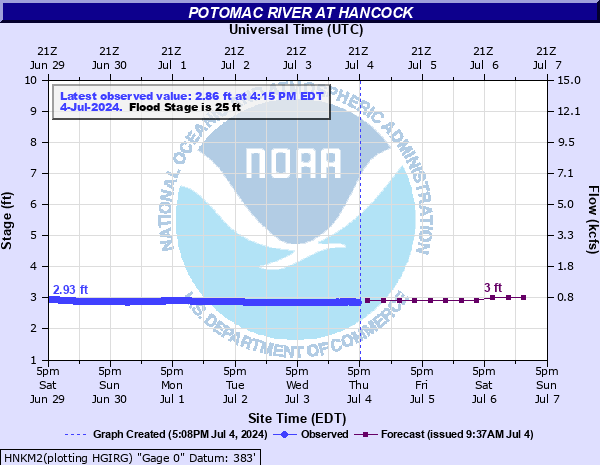
Potomac River Gage at Hancock MD
USGS Streamflow Monitor

Located in Washington County, this gage tracks river stage in feet and flow in cubic feet per second, with readings updated multiple times daily. Operated by the USGS Maryland Water Science Center, the site covers a drainage area of approximately 4,064 square miles. It plays a key role in regional hydrology, supporting agencies like NOAA and the U.S. Army Corps of Engineers in managing water resources and issuing alerts. The Hancock gage is also a reference point for paddlers and anglers assessing river conditions between Fifteen Mile Creek and Fort Frederick.
Federal and state agencies maintain river level monitors throughout the Potomac River Basin. The U.S.Geological Survey compiles real-time information from river monitors, in cooperation with the U.S. Army Corps of Engineers.
The National Oceanic and Atmospheric Administration (NOAA) has an on-line river forecast service summarized below.
For real-time data on this site, select this link.
Nearby Potomac River Stream Monitors | |
Upstream | Downstream |
To view a map of Potomac River Monitors, select this link. | |
Suggested Links
Contact Information
U.S. Geological Survey
5522 Research Park Drive
Baltimore MD 21228
443-498-5500
Website