
Delaware River Guide
Interactive Maps
Upper Delaware
Middle Delaware
Easton to Trenton
NEW! Lower Delaware
Thematic Maps
Boat Ramps
Bridges and Ferries
River Gages
Search Delaware Sites
Also Explore
| The Hudson River Guide | The Potomac River Guide |
Dingmans Ferry Access
National Park Service Site
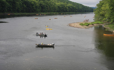
Located one-half mile east of U.S. Route 209 off PA Route 739, this National Park Service facility offers a paved parking area for130 vehicles, a wide gravel boat ramp, restrooms, and trash disposal. The bridge at Digmans Ferry is a privately owned toll bridge. The site is part of the Delaware Water Gap National Recreation Area. The 70,000-acre park follows 40 miles of the Middle Delaware National Scenic and Recreational River through the Delaware Water Gap. An NPS amenity fee of $10 per day per vehicle is charged from April through October.
The next NPS access point upstream is Namanock Island, 4 miles north on the New Jersey side of the river. The next downstream access point is Eshback Access, 6 miles downstream on the Pennsylvania side.
Suggested Links
Contact Information
National Park Service
U.S. Route 209
Dingmans Ferry PA 18238
Website